Monitoring Water Productivity using WaPOR – Part 2
Water Productivity Masterclass Series
Date: June 17, 2020
Time: 12:00 - 13:30 CET
Recording of the webinar and presentations are available below
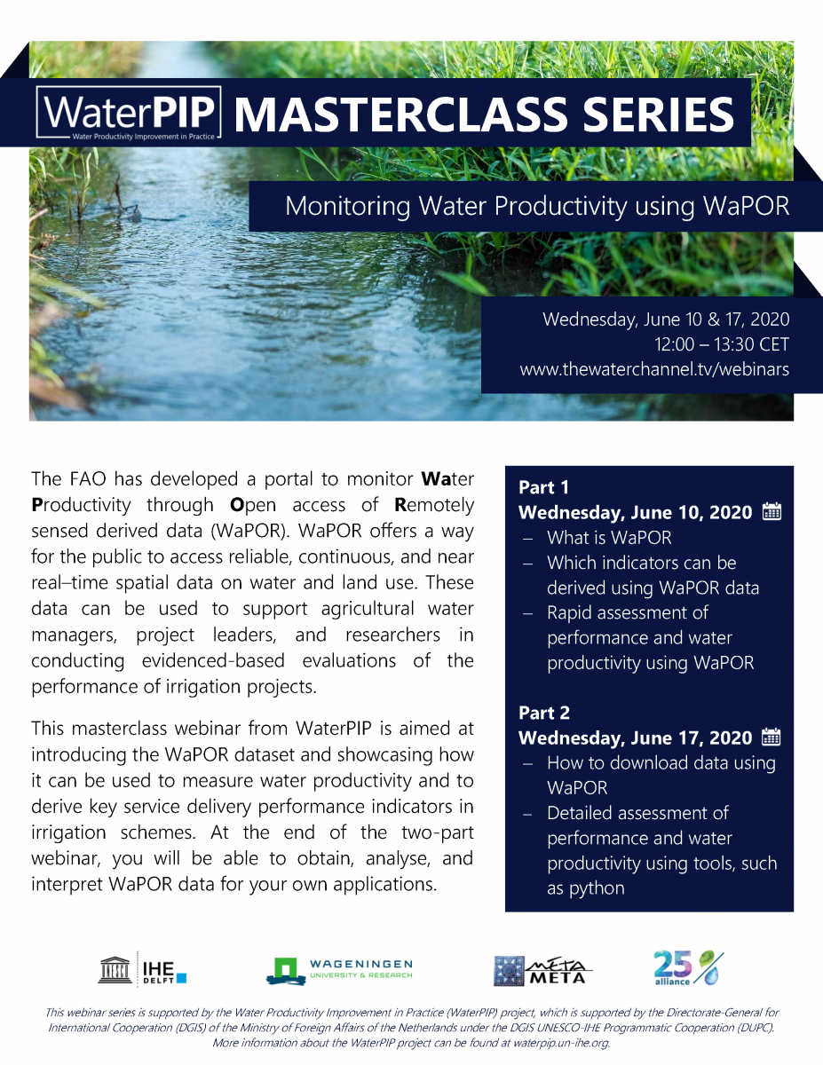
The FAO has developed a portal to monitor Water Productivity through Open access of Remotely sensed derived data (WaPOR). WaPOR offers a way for the public to access reliable, continuous, and near real–time spatial data on water and land use. These data can be used to support agricultural water managers, project leaders, and researchers in conducting evidenced-based evaluations of the performance of irrigation projects.
This masterclass webinar from WaterPIP is aimed at introducing the WaPOR dataset and showcasing how it can be used to measure water productivity and to derive key service delivery performance indicators in irrigation schemes. At the end of the two-part webinar, you will be able to obtain, analyse, and interpret WaPOR data for your own applications.
Topics for Part 2 include:
- How to download data using WaPOR
- Detailed assessment of performance and water productivity using tools, such as python
Outputs of the Webinar
Webinar Recording
Presentations
- Week 3 Introduction - Lauren Zielinski, IHE Delft
- Processing WaPOR data in QGIS - Dr. Sajid Pareeth, IHE Delft
Additional Resources
- Jupyter notebooks on WaPOR based monitoring of water productivity and irrigation performance indicator
- Free introduction course to QGIS and Python 3 from IHE Delft: Open Source Software for Preprocessing GIS Data for Hydrological Models
- Download QGIS (free)
- Download Anaconda/Python (free)